Silver District · La Paz County, Arizona
A historically productive silver district.
Red Cloud Silver holds an option to acquire 100% of the Silver District Exploration Project. Shine has been granted an option to acquire all issued and outstanding shares of Red Cloud Silver.
Recorded silver production
1.56 Moz
Historical
Recorded lead production
2.33M lbs
Historical
Historical drill holes
468
Average depth 30 m
Mineralized area
3.5 × 6.5 km
Silver District
District geology
West, Central and East zones
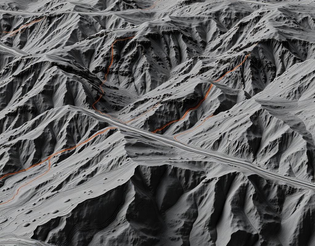
Silver-enriched calcite-barite-fluorite carbonate veins cover a 3.5 by 6.5-kilometre area. The West and East vein-fault zones each have a reported 4.5-kilometre strike length, while the Central zone has a reported 3.5-kilometre strike length.
Mineralized veins are exposed at surface, range from 7.5 metres to 45 metres in width, and historical drilling tested them to an average depth of only 35 metres.
Historical context
Discovered in 1862
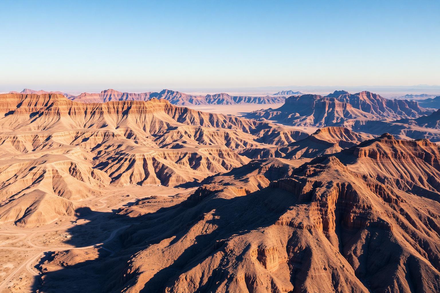
Most historical production came from the underground Red Cloud and Clip mines. Recorded production cited by the Company includes 1.56 Moz (44,225 kg) silver and 2.33 million lbs (1.06 million kg) lead, mostly produced during a peak period from 1883–1893.
Data disclosed includes historical drilling results and information derived from historic drill results. Shine Minerals Corp. has not undertaken any independent investigation of the sampling, nor has it independently analyzed the results of the historical exploration work to verify the results. Shine considers these historical data relevant as the Company is using these data as a guide to plan exploration programs. The Company's current and future exploration work includes verification of the historical data through drilling.
Qualified Person
Ross McElroy, P.Geo., President and Chief Executive Officer of Shine Minerals Corp., is the Qualified Person as defined by National Instrument 43-101 and has reviewed and approved the technical content of this website.
Next